Sanctuary Map

Screenshots
Sanctuary provides you with a very special service: the ability to see sound.
By coupling geolocation data with sound level readings, Sanctuary:
- Creates, stores, retrieves previous GPS and sound
level information
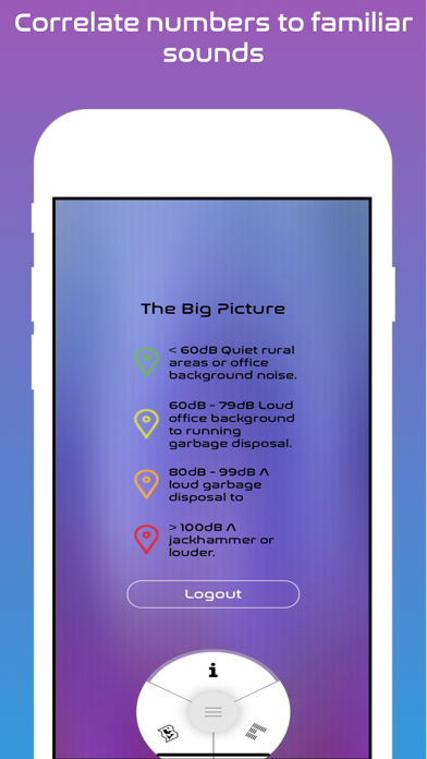
- Displays map markers, color-coded according to
sound levels, onto a hybrid satellite/traditional map
centered on your location
- Grants users anonymous access to any and all
GPS/sound level information stored in the app's
database.
- Makes finding quiet spots to relax, or study, a breeze
What’s New
*** 2.0 is HERE! ***
- Entirely new de-identified, remote data storage thanks to Firebase.
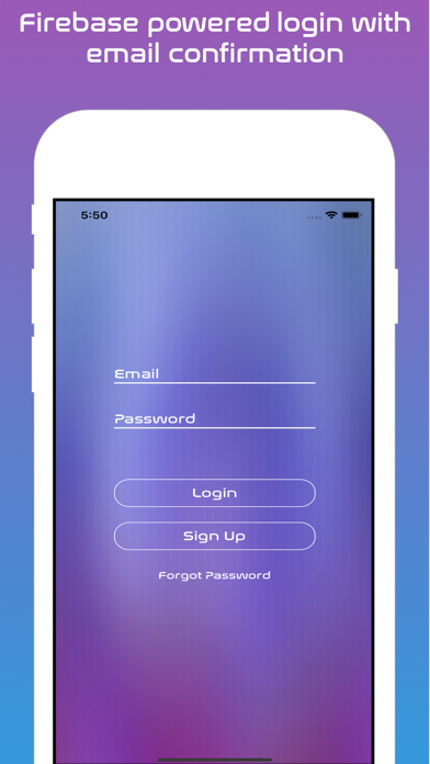
- Two step account creation whereby email logins are vetted via confirmation links sent to said emails.
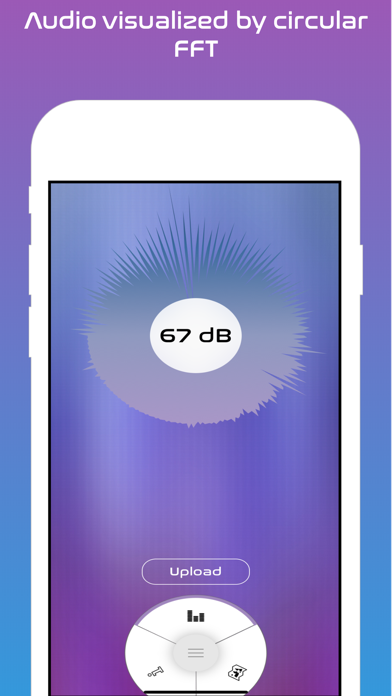
- A completely redesigned audio visualizer, built to illustrate the bombastic nature of certain frequencies vs others, and how, despite the chaos, the decibel level remains steady...ish.
- Use of Apple’s Map cameras, affording a depth to buildings that rise from the page.
- Effortless upload if you’d like to contribute, no hidden uploads or any information gathered not explicitly donated by the user.
Version 2.0.0
Version History
App Privacy
The developer, Edward Salter, has not provided details about its privacy practices and handling of data to Apple. For more information, see the developer’s privacy policy
No Details Provided
The developer will be required to provide privacy details when they submit their next app update.
Information
-
Category
-
Age Rating4+
-
PriceFree
-
Size76.39 MB
-
ProviderEdward Salter
Languages
English
Copyright
©
2004-2025 Edward Salter. All rights reserved.


